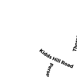
102 THORNTON DRIVE, BARNSTABLE
Owner Information
CLARK, S PAULA TOBEY
65 ACRE HILL RD
BARNSTABLE, MA 02630


Property Details
102 THORNTON DRIVE, BARNSTABLE is classified as a WHSE CONDO MDL-06 (Indust condo).
The primary structure on this property was built in 1975. There are 2,332ft2 of built area within this property. There is 2,332ft2 of residential/living space within this property.
102 THORNTON DRIVE, BARNSTABLE is valued at $213,500. The land is valued at $0 and the structures are valued at $213,500.
This property is in Zone IND. Confirm with local Zoning Board authorities to ensure there are no overlays or other easements on this property.
The most recent deed for 102 THORNTON DRIVE, BARNSTABLE is recorded at the local registrar in Book 29693, Page 0073. 102 THORNTON DRIVE, BARNSTABLE was last sold on Thursday, June 2, 2016 for $0.
Assessment data from fiscal year 2022.
Flood Data
According to the FEMA National Flood Hazard Layer, this property does not appear to be in a flood zone. It may also be in an area not yet reviewed. Nonetheless, confirm this information prior to taking any action.
To view the flood hazards around this property, create a FEMA "Firmette" Map of the area around 102 THORNTON DRIVE, BARNSTABLE.
Broadband Internet Providers
| Provider | Type | Bandwidth (mbps) | |
|---|---|---|---|
| VSAT Systems, LLC. | Satellite | 2 | 1 |
| PAETEC Communications, Inc | Fiber | 0 | 0 |
| GCI Communication Corp. | Satellite | 0 | 0 |
| HughesNet | Satellite | 25 | 3 |
| Crown Castle Fiber | Fiber | 0 | 0 |
| MCI | Copper Wire | 0 | 0 |
| Viasat Inc | Satellite | 35 | 3 |
| Verizon New England Inc. | DSL | 5 | 0 |
| Comcast | Cable | 1000 | 35 |
Broadband service provider data from December 2020.
Adjacent Properties
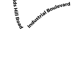
- 400 KIDD'S HILL ROAD, BARNSTABLE
Buildings for manufacturing operations owned by ONE CENTER PLACE LP - 86 THORNTON DRIVE, BARNSTABLE
WHSE CONDO MDL-06 owned by SUNSET VALLEY REALTY LLC - 84 THORNTON DRIVE, BARNSTABLE
WHSE CONDO MDL-06 owned by SUNSET VALLEY REALTY LLC - 80 THORNTON DRIVE, BARNSTABLE
WHSE CONDO MDL-06 owned by MORRISON, SUSAN - 82 THORNTON DRIVE, BARNSTABLE
WHSE CONDO MDL-06 owned by MORRISON, SUSAN - 72 THORNTON DRIVE, BARNSTABLE
WHSE CONDO MDL-06 owned by LUFF, JEFFREY P - 72 THORNTON DRIVE, BARNSTABLE
WHSE CONDO MDL-06 owned by LUFF, JEFFREY P TR - 72 THORNTON DRIVE, BARNSTABLE
WHSE CONDO MDL-06 owned by HULTEN, MARC R - 72 THORNTON DRIVE, BARNSTABLE
WHSE CONDO MDL-06 owned by HULTEN, MARC R - 72 THORNTON DRIVE, BARNSTABLE
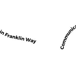
WHSE CONDO MDL-06 owned by HULTEN, MARC R - 270 COMMUNICATION WAY, BARNSTABLE
SELF STORAGE owned by COASTAL SUN LP